
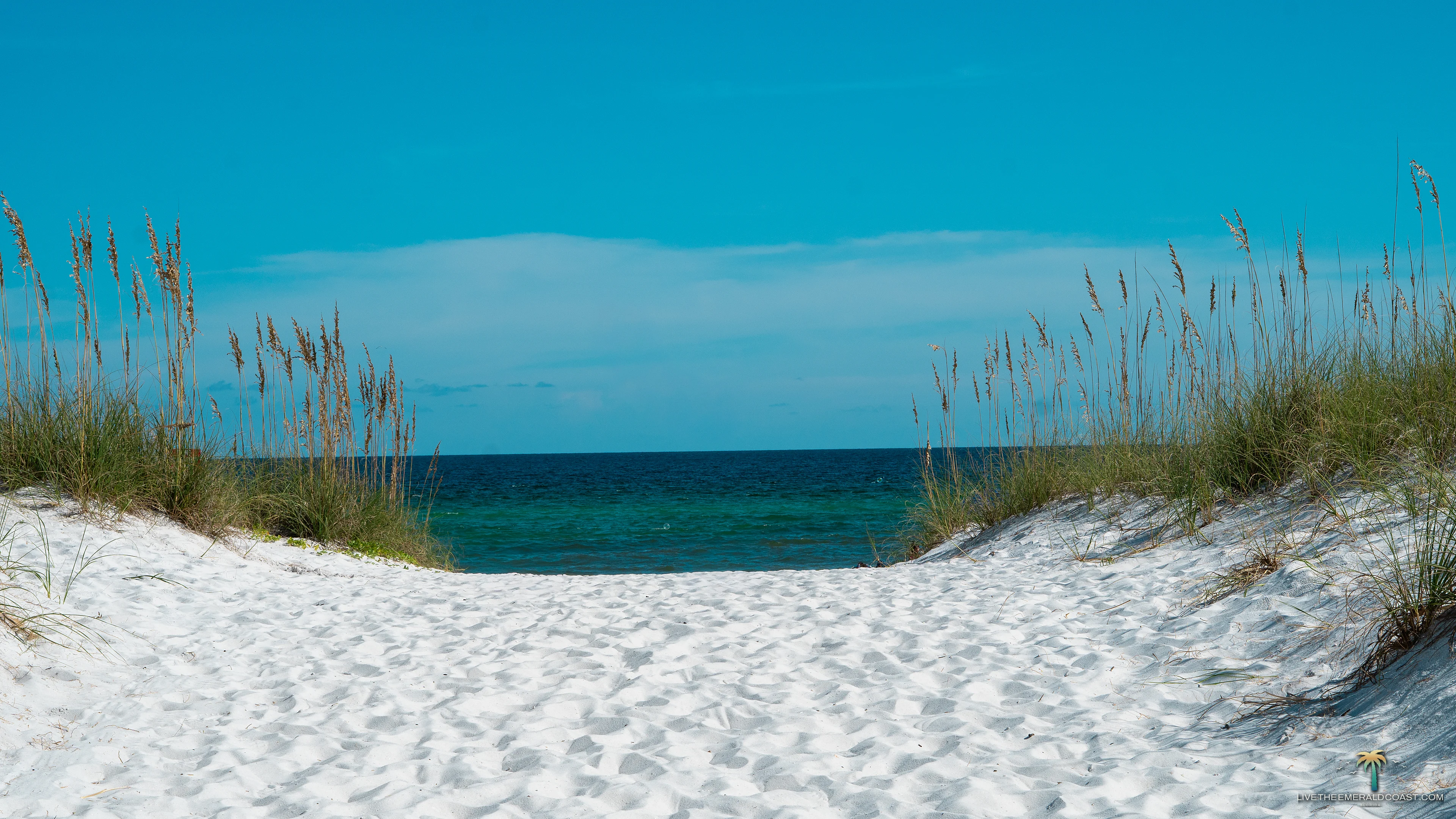
Florida’s Emerald Coastline, Unfiltered
Where Sugar White Sands Meet Emerald Waters. Curated guides, local spots and scenic wonders across Destin, 30A, Navarre and beyond.
The water changes colour by depth, and you only really see it from above.
Signature view
Stand on the water at Navarre Beach
Drag to look around. A full sphere shot from above the Gulf, a few hundred feet off the end of the pier, with the whole of Santa Rosa Island running east and west.
The whole coast, west to east
Eight towns along one stretch of barrier island
Roughly a hundred miles of barrier island and shoreline, drawn to scale. Tap any town to see it.
Perdido Key
The far western end. A thin barrier island shared with Alabama, mostly protected as National Seashore and state park, which is why the dunes here still look untouched.

Pensacola Beach
The beach ball tower marks the centre. Fort Pickens and the pass to the west, National Seashore to the east, and the busiest boardwalk on this half of the coast in between.
Gulf Breeze
The mainland side, with Pensacola Bay on one shoulder and Santa Rosa Sound on the other. Most people drive through it. The sunsets over the bay are worth stopping for.
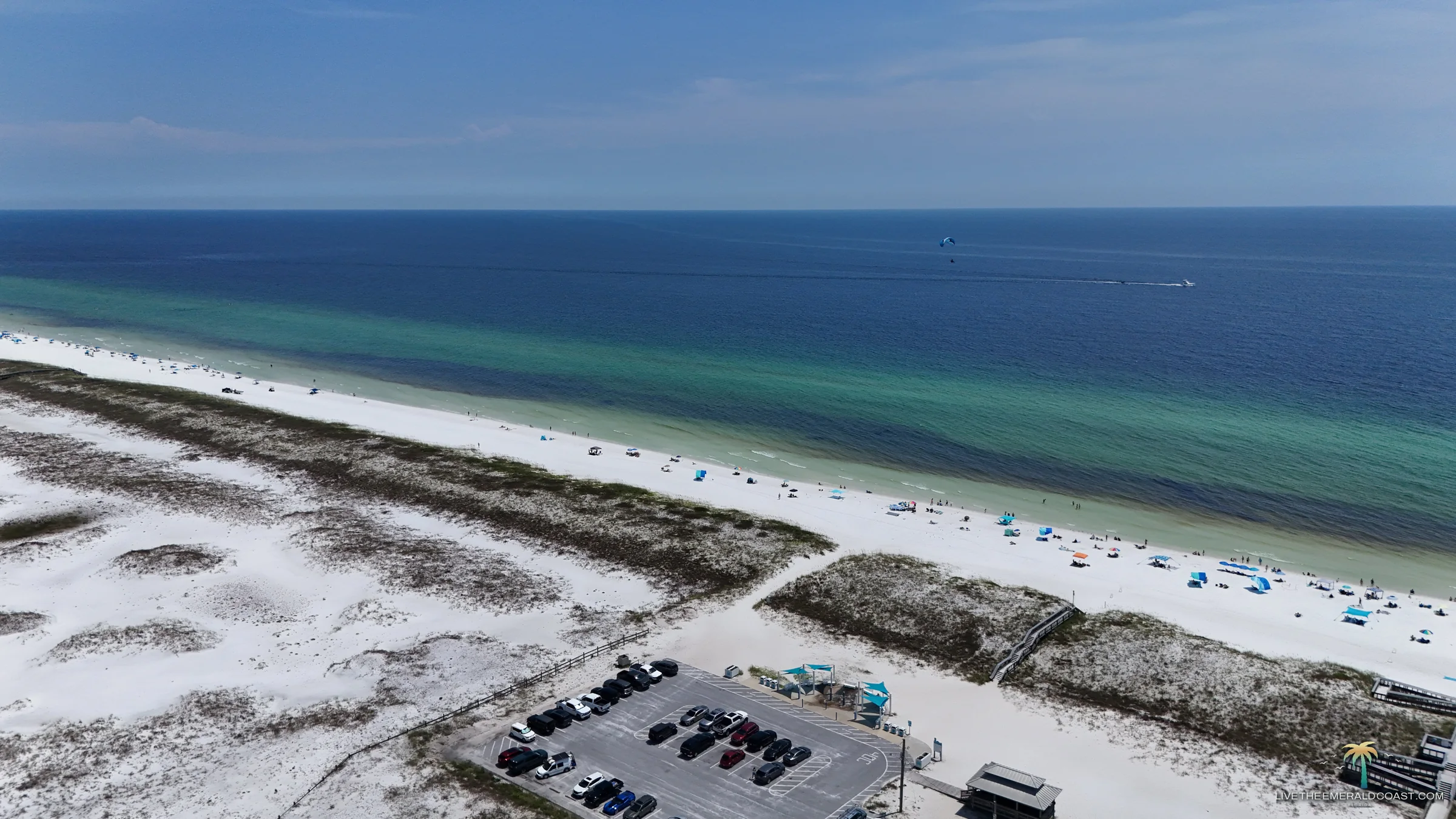
Navarre Beach
National Seashore on both sides, so the development stops and the dunes take over. The pier reaches farther into the Gulf than any other in Florida.
Fort Walton Beach
Split between the mainland and Okaloosa Island. A working town more than a resort town, which shows up in the prices and in who you find at the counter.
Destin
The clearest water on the coast, and it is not close. The pass runs between the Gulf and Choctawhatchee Bay, and the largest charter fleet in the state works out of the harbour.
30A
One county road with a string of small beach towns along it. It also holds the coastal dune lakes, which are rare almost everywhere else on earth.
Panama City Beach
The eastern end, and the longest continuous stretch of beach on the coast. St Andrews at one end and Camp Helen at the other still look like the old version of this place.
Destinations, west to east, in the order you would drive it
-
Perdido Key The barrier island edge, Alabama line to Pensacola Pass.
Perdido Key sits at the far western end of the run, a thin barrier island shared between Florida and Alabama. Much of it is protected as part of Gulf Islands National Seashore and Perdido Key State Park, which is why the dunes here still look the way the whole coast once did.
It is the quietest of the eight. No high rise wall, no boardwalk, just sand and sea oats and a road that ends at the pass.
-
Pensacola Beach Fort Pickens, the pass, and the city behind it.
The beach ball water tower is the landmark everyone photographs, and it sits right at the centre of things. From there the island runs west toward Fort Pickens and the pass, and east along Via de Luna toward the National Seashore.
This is the busiest stretch on the western half of the coast. It has the Gulf Pier, the boardwalk, and enough restaurants to make an evening of it, which is exactly why the quieter stretches on either side feel like a different island.
-
Gulf Breeze The peninsula between the sound and the bay.
Gulf Breeze is the mainland side, a peninsula with Pensacola Bay on one shoulder and Santa Rosa Sound on the other. You pass through it to reach Pensacola Beach, and most people do exactly that without stopping.
Worth slowing down for. The water on the sound side is calm and shallow, the sunsets over the bay are the best on this part of the coast, and the food is where locals actually eat.
-
Navarre Beach National Seashore on both sides, and the longest pier in Florida.
Navarre Beach has National Seashore on both sides of it, which means the development stops abruptly and the dunes take over. Drive west on Gulf Boulevard and you get several miles with no houses and no hotels, water on your left and water on your right.
The pier reaches farther into the Gulf than any other in Florida. Stand at the end of it on a clear day and you can watch the water separate into bands, pale green over the sandbar and deep blue past it.
-
Fort Walton Beach Okaloosa Island, the boardwalk, the sound side.
Fort Walton Beach spreads across the mainland and Okaloosa Island, with the boardwalk and the fishing pier out on the Gulf side. It is a working town more than a resort town, which shows up in the prices and in who you find at the counter.
The sound side is the part visitors miss. Calm water, shallow flats, and a very different afternoon than the Gulf gives you.
-
Destin The pass, the charter fleet, the brightest water on the coast.
Destin has the deepest, clearest water on this coast, and it is not close. The pass runs between the Gulf and Choctawhatchee Bay, and the colour of the water coming through it is the reason people book here year after year.
It also has the largest charter fishing fleet in the state. Walk the harbour in the late afternoon and you will see the day's catch coming off the boats.
-
30A A string of beach towns along one county road.
30A is a county road with a series of small beach communities strung along it, each with its own character. Seaside, Grayton Beach, Alys Beach, Rosemary Beach, all within a few miles of each other and all distinct.
It also has the coastal dune lakes, which are rare almost everywhere on earth and sit here in a handful along one stretch of road. Fresh water that meets the Gulf and mixes when the outfall opens.
-
Panama City Beach The eastern end of the run, twenty seven miles of shoreline.
Panama City Beach closes out the eastern end with the longest continuous stretch of beach on the coast. It has the most to do and the most people doing it, and it earns its reputation in the busy months.
The quieter parts are real though. St Andrews State Park at the eastern end and Camp Helen at the western end both hold onto the version of this coast that existed before the towers went up.
When the light turns
The last hour before dark is the reason people come back
 Sunset over Santa Rosa Sound
 Public Beach Access 38C
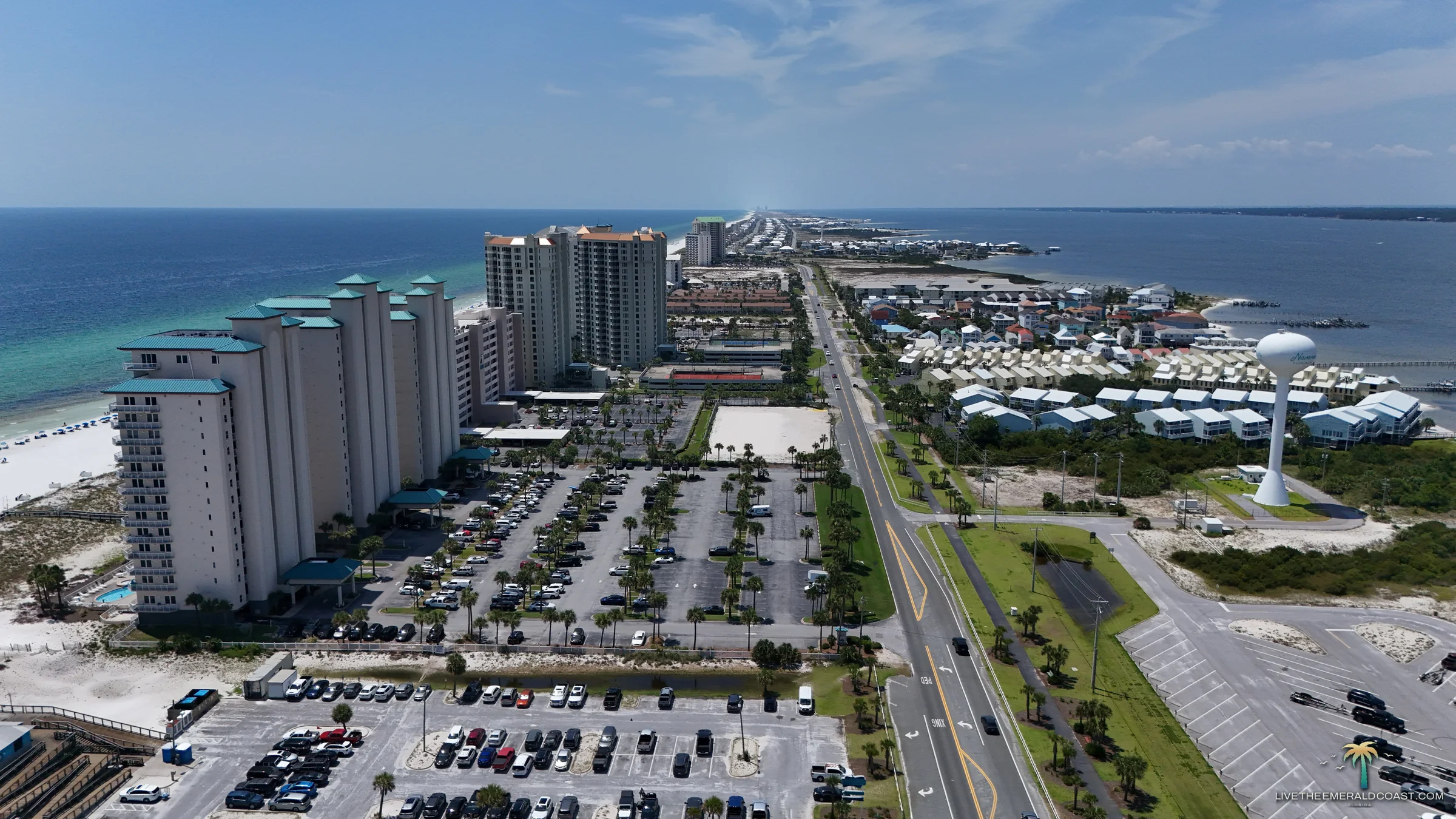 Santa Rosa Island, looking east
Every destination above opens to what is worth seeing there, where to park, and when the light is best. Pick a stretch of coast and start there.
After the sun goes down
Most people photograph this coast between ten and four
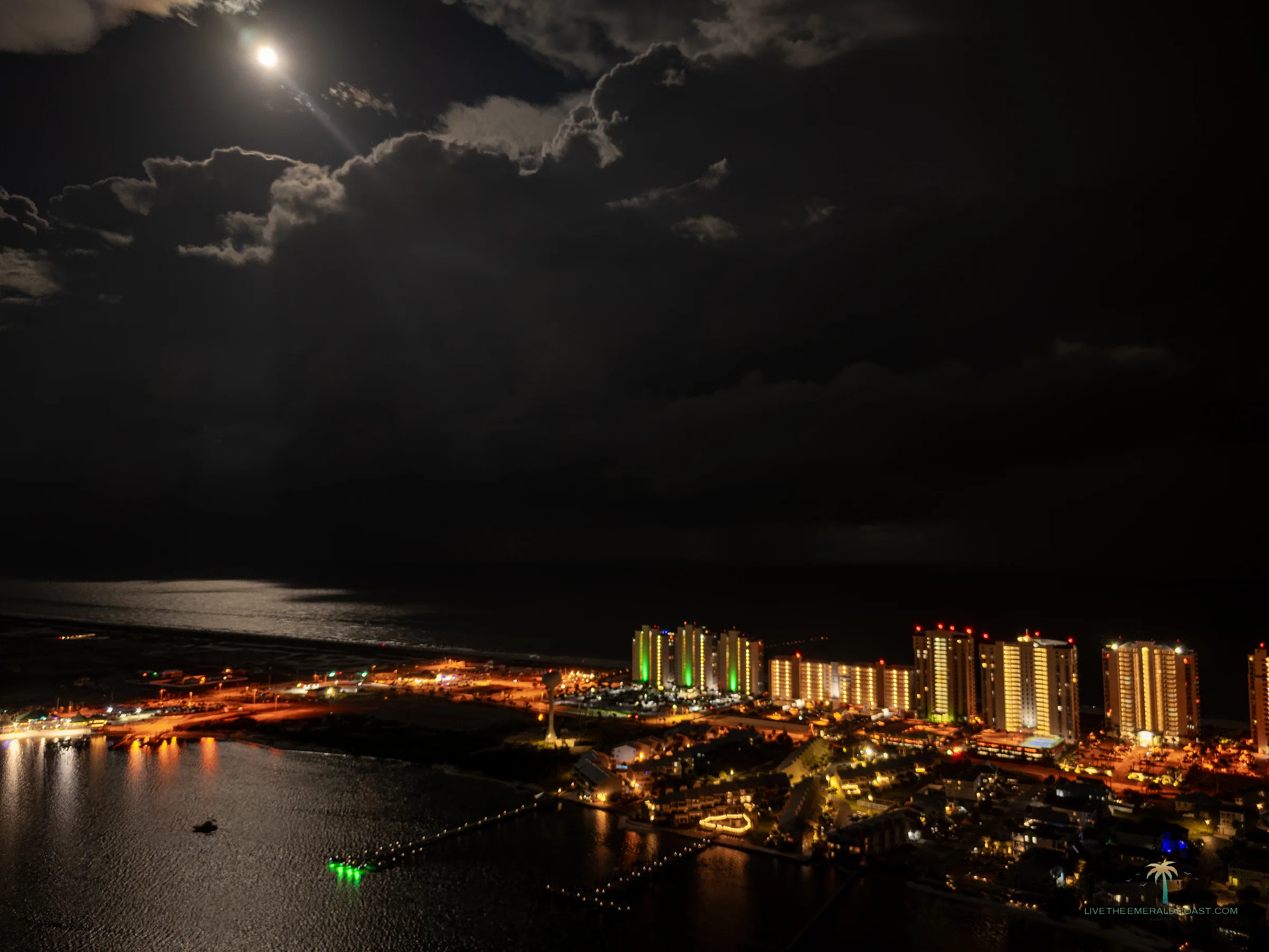 Full moon over Navarre Beach
 The skyline, looking north
These were shot after twenty two hundred on a night the moon broke through long enough to lay a path across the water. Every aerial frame here was flown under Part 107 at or below four hundred feet. More of this coast after dark on the Navarre Beach guide.
Why this guide exists
Where people who live here actually go
Most guides to this coast are assembled by someone who has never stood on it. The same twelve restaurants, the same rented photographs, the same list in a different order.
This one is written from Navarre by someone who drives these roads, eats at these places, and takes every photograph on the site. When a beach access is worth the extra ten minutes, you will hear why. When a place is a tourist trap, you will hear that too.
- 8Destinations covered, Perdido Key east to Panama City Beach
- 0Stock photographs. Every image here was shot on this coast
- 360Degree aerial panoramas you can drag and look around
Who is behind it
Written and photographed by Tye Odom, who lives in Navarre and shoots this coast from the ground and the air. The day job is Whitewater Digital Marketing, where the SEO Services and website work happens. This site is where the photographs go.